Overall idea & Background
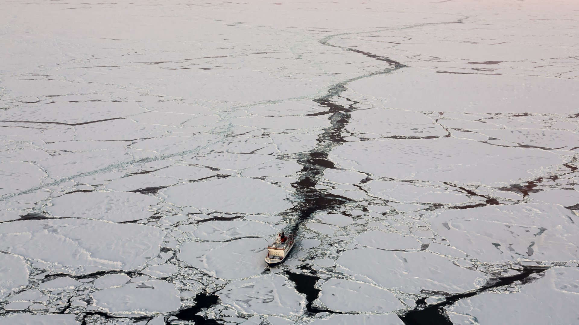
The aim of the project is to develop new techniques for an automated production of sea-ice information based on satellite earth observation. The new ice information product will be a supplement to conventional ice charts and are thus suited for a navigational support of ships in polar waters. The provided ice information will help to plan routes of polar operating ships more safely and to avoid dangerous situations more effectively.
Eisklass-2 is a follow-up project of the mFUND FL1 project EisKlass31 (led by König und Partner) and runs from 06/2020 to 05/2023
Motivation: Sea-ice as a Navigational Hazard
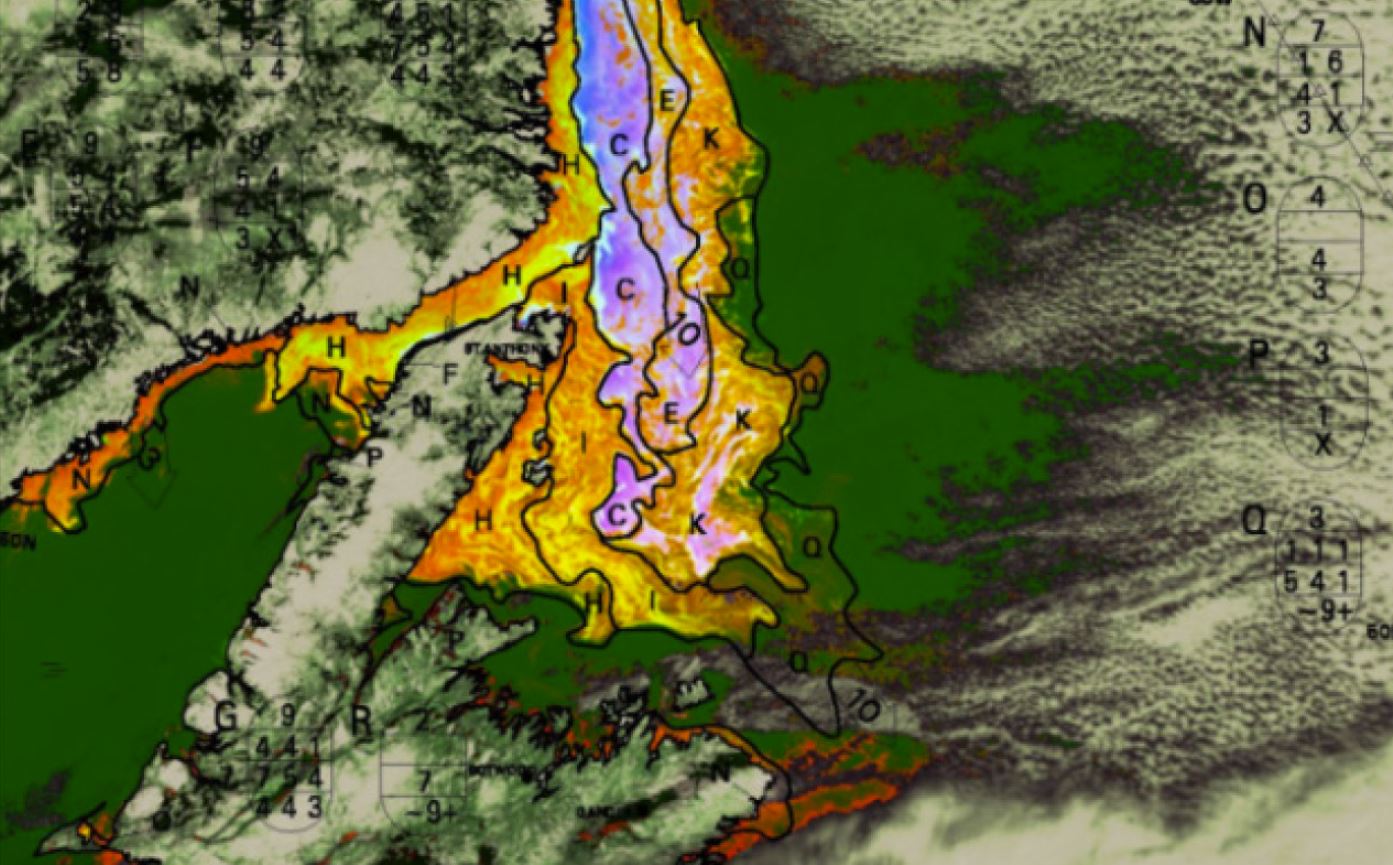
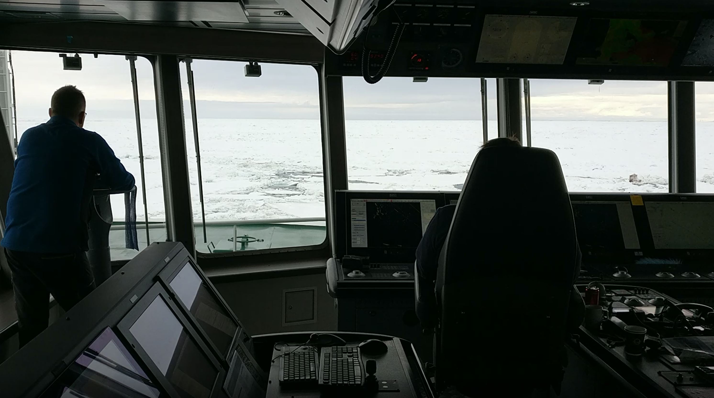
Sea ice is subject to constant change: Wind and ocean currents can push large ice masses together and close open water areas; pack ice formed in this way is sometimes impassable even for icebreakers. Therefore, every ice information looses its value for shipping within hours and should ideally be in the spatial scale of navigational features in the ice, such as ridges and open leads. The creation of high resolution and near-real time classified ice information is only possible with a high degree of automation.
The role of earth observation satellites
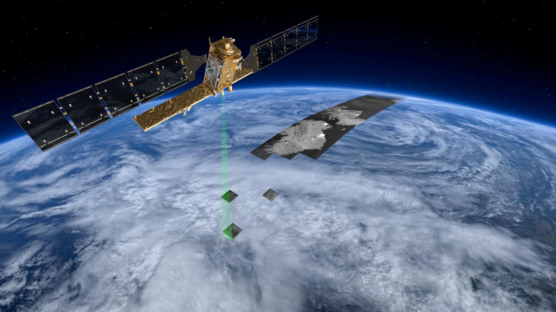
The European Sentinel satellite series, with its unique combination of optical/thermal sensors and radar sensors, offers the possibility of significantly improving sea-ice information. Synthetic Aperture Radar (SAR) satellites such as Sentinel-1 show structures in sea ice with high resolution and independent of cloud cover. Different ice classes are usually distinguished from each other by different radar backscatter characteristics. However, some ice classes show similar backscatter characteristics, which limits a purely SAR-based ice classification. Sentinel-3 data provide optical/thermal information of water, ice and snow, which allows further conclusions and refines the graduation into different ice classes considerably, but in comparatively low resolution. Furthermore, ice classifications based in optical sensors are hindered by clouds.
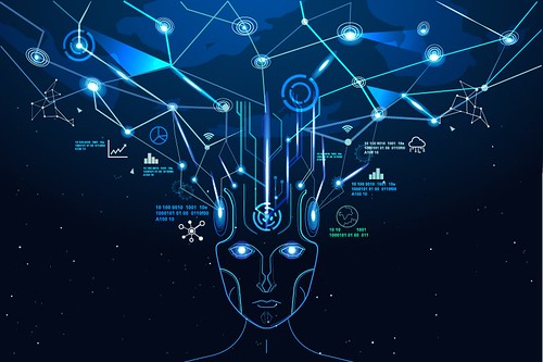
The role of AI
Within the scope of the project described here, Sentinel-1 and Sentinel-3 data will be merged and for the first-time different ice classes will be distinguished by means of artificial intelligence in a combined neural network. The fusion concept outlined in the predecessor project EisKlass31 will be further developed and optimized for a future operational use in terms of reliability, computing time and accuracy, and the operation of the service on a data platform with connection to the Copernicus data archive will be demonstrated.
Involvement of Users
The classification results will be validated selectively with in-situ observations of ships and checked for consistency over a large area with model data and ice maps. For an intuitive presentation of the final data product on board, user requirements will be recorded and visualization software will be developed. The project will result in a pre-operational end-to-end service for the automated generation of up-to-date, high-resolution and more accurate ice information, which is intended to be delivered to ships, maritime security agencies and authorities such as the ice service of the Federal Maritime and Hydrographic Agency (BSH), as well as an application for visualization on board of ships.